Explore our services and get in touch
Our Services
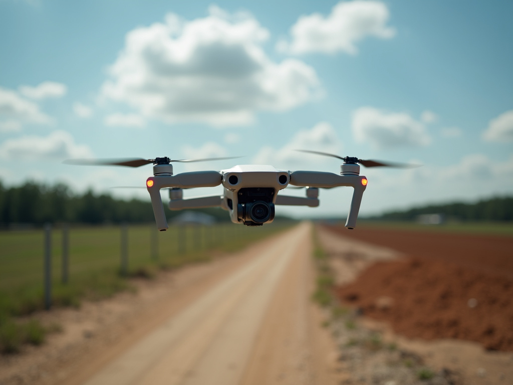 01.
Aerial Mapping
Capture high-resolution drone imagery for site mapping, land documentation, construction progress, and property analysis. Deliverables may include orthomosaic maps, topographic visuals, and georeferenced image sets depending on project requirements. Clients can submit location details, site dimensions, and scheduling preferences through the project inquiry form.
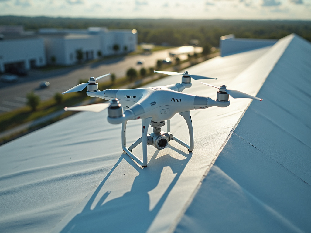 02.
Drone Inspections
Use aerial drone technology to inspect roofs, towers, solar installations, infrastructure, and difficult-to-access areas safely and efficiently. The service provides detailed photographs and video footage that help identify visible damage, maintenance concerns, and project conditions. Clients can provide asset type, inspection location, and requested deliverable details for a tailored mission plan.
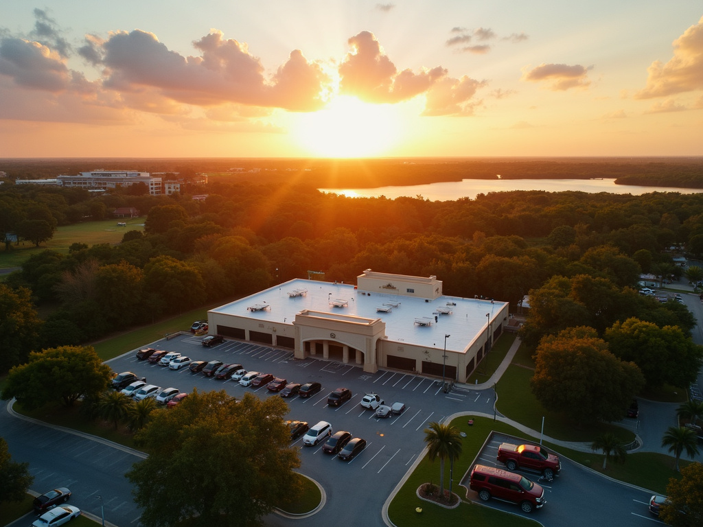 03.
Aerial Media
Create professional drone photography and video for real estate, commercial properties, events, tourism, marketing campaigns, and completed project showcases. Deliverables can include edited aerial photographs, cinematic video clips, and branded media selections based on the client’s objectives. Prospective clients can submit property details, preferred shot types, and desired delivery timelines through the inquiry form.